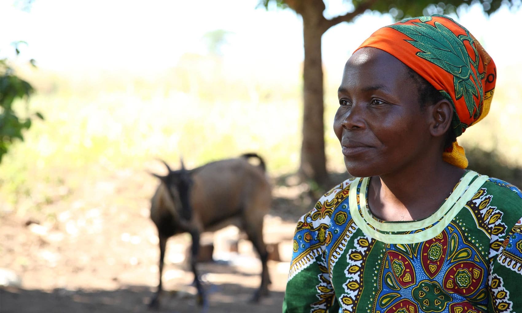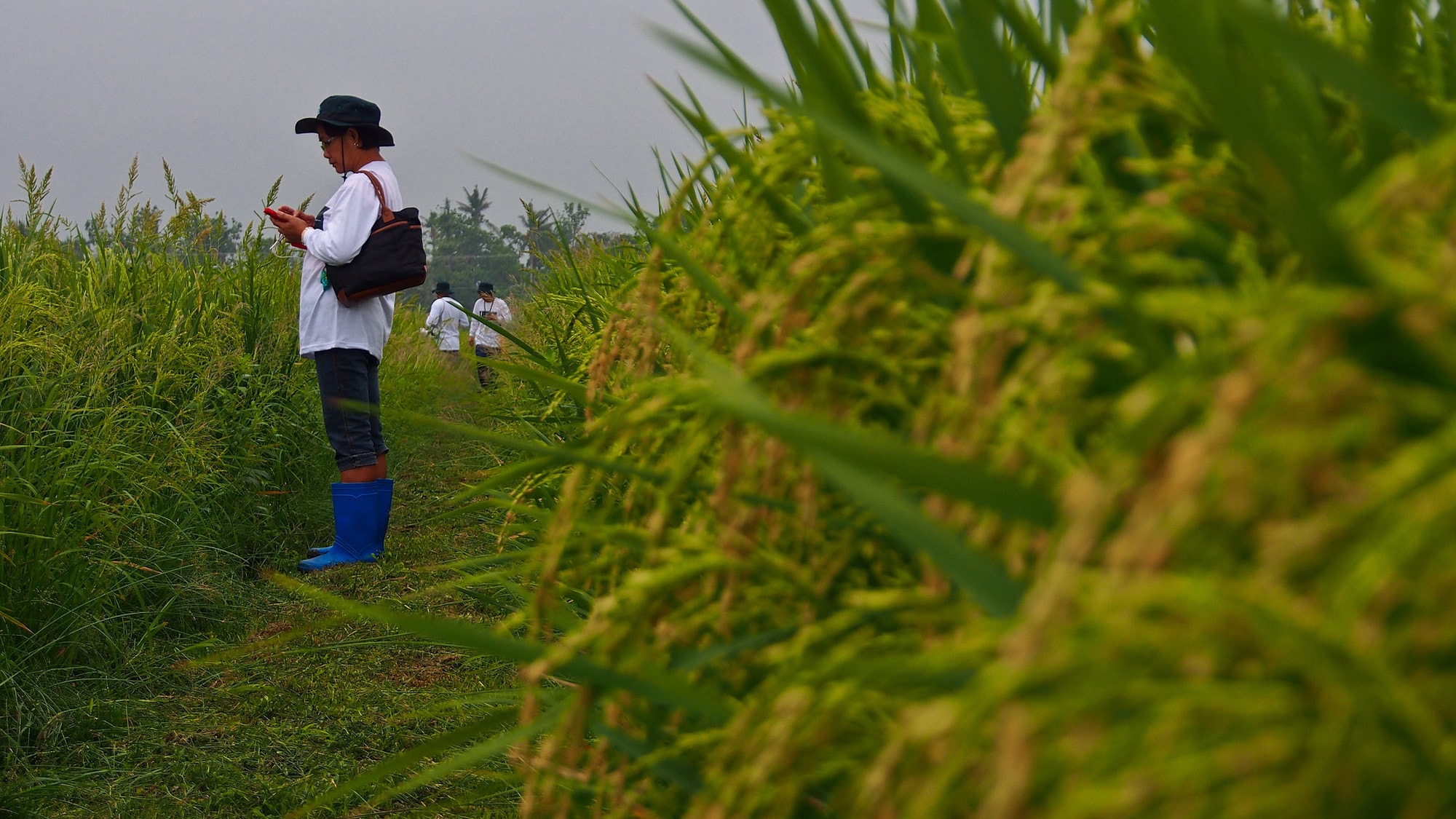

As a national staple, rice is crucial to food security in the Philippines. Access to data on seasonal changes, outbreaks of pests and diseases, and damage from extreme weather events can help farmers and policymakers make informed decisions to plan for a rice-secure Philippines.
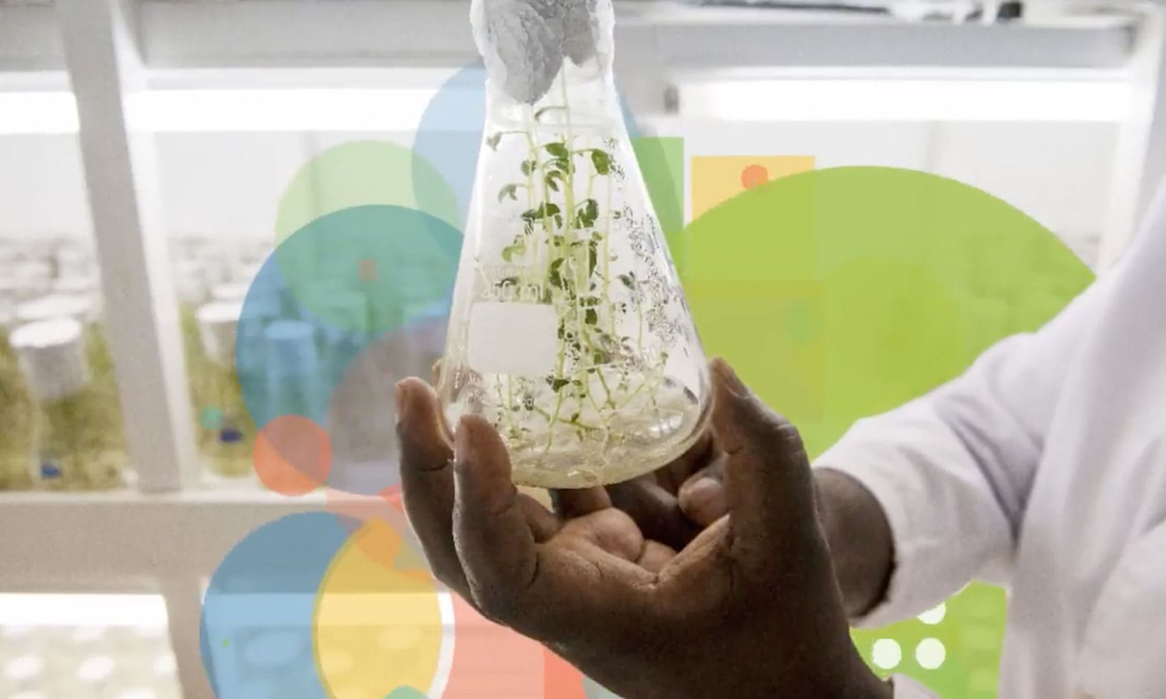
The Philippine Rice Information System (PRiSM), developed by CGIAR researchers at the International Rice Research Institute (IRRI) in collaboration with the Philippine Department of Agriculture, addresses this need by using satellite imagery and other new technologies to generate information on planted rice area, seasonality, yield, and risks to crops.
In operation since 2014, PRiSM is the first satellite-based rice monitoring system in Southeast Asia, serving as model for other countries in the region on the uses of new technologies to boost agricultural production and food security.
PRiSM is the first satellite-based rice monitoring system in Southeast Asia
PRiSM uses data collected from a variety of sources, including remote-sensing satellites, crop modeling, cloud computing, unmanned aerial vehicles, smartphone-based field surveys, statistics, and maps. The maps generated by PRISM can show gradual changes over time, such as during rice-growing seasons, as well as dynamic changes, like crop health after a typhoon.
Start-of-season maps and yield estimates every semester, plus damage assessments from typhoons, floods, and droughts, can be used for rapid decision-making on emergency response, planning, and implementation of rehabilitation programs. Graphs and tabular representations can also be generated showing the occurrence of pests and diseases, and the impact of farmer inputs such as fertilizers, pesticides, and the rice variety used on yields.
Since its inception, PRiSM has generated maps and data on rice area with overall accuracies ranging from 85% to 93% based on more than 1,000 ground observations by partners and local government units from across the country.
Researchers and the Government of the Philippines are using PRiSM to generate accurate data to inform policy, strategy, and disaster response
As a decision-support system, PRiSM can be used in a number of different ways that directly benefit farmers, including monitoring and evaluating crop growth and health, and assessing and forecasting yields. It also provides smallholders with reliable and transparent data for equitable crop insurance products that can reduce their economic vulnerability. Beyond smallholder farmers, researchers and the government are using PRiSM to generate accurate data to inform policy, strategy, and disaster response.
In 2018, IRRI officially handed over operation of PRiSM to the Government of the Philippines. The tool is now overseen by the Philippine Rice Research Institute (PhilRice), which uses the technology to support the Department of Agriculture in making informed decisions for policy formulation and planning.
Learning from the successes of PRiSM, IRRI and partners are further developing initiatives for the Philippines, such as through the Remote Sensing-Based Information and Insurance for Crops in Emerging Economies (RIICE), and WeRise, which utilize the same systems and technologies to benefit rice farmers through insurance and crop advisory solutions.
Header photo: A 2014 field workshop for the launch of PRiSM. Photo by IRRI