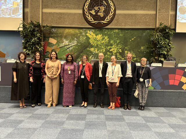
The National Land Use Planning Commission (NLUPC) serves as Tanzania’s primary land use planning agency, tasked with supervising national, regional and district spatial plans, as well as local village-level land use planning. In February 2024 the NLUPC’s Director General, Professor Wakuru Maseka, and ILRI’s Director General, Professor Appolinaire Djikeng, signed a Memorandum of Understanding (MoU) to collaborate and upscale a core innovation of the CGIAR Research Initiative Livestock and Climate – participatory land use planning in pastoral areas.

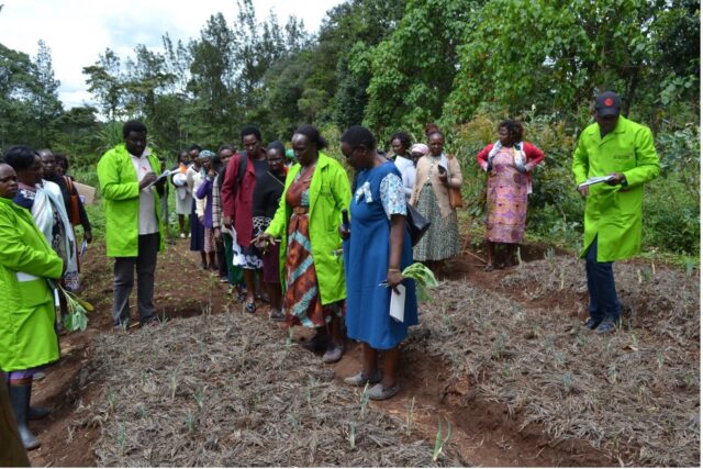
Through the Livestock and Climate Initiative, ILRI has been supporting the development of participatory land use planning in pastoral areas in Tanzania, Kenya and Ethiopia. In Tanzania, the innovation has been packaged as joint village land use planning, and successfully implemented in two districts – Kiteto and Chalinze. Joint village land use planning is an adaptation of the government’s participatory land use planning approach, supported in policy and legislation, namely the Village Land Act of 1999 and the Land Use Planning Act of 2007. With collaboration from the NLUPC, the Tanzania Ministry of Livestock and Fisheries, the International Land Coalition (supported with funding from IFAD), NGOs and communities, ILRI has developed the joint village land use planning approach. This approach aims to preserve and safeguard grazing lands that are shared across village boundaries.
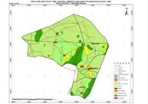
The implementation of this process has resulted in the protection of over 170,000 hectares of shared grazing land within joint village land plans, alongside other land uses, across five clusters of villages. This planning process has directly contributed to a reduction in local land use conflicts and has laid the foundation for issuing collective certificates of customary rights of occupancy by Village Councils and facilitating participatory rangeland management.
The MoU outlines the following areas of collaboration between the NLUPC and ILRI:
- Co-development of guidelines on joint village land use planning, complementing the Government’s Guidelines for Participatory Land Use Planning, Administration and Management.
- Capacity building for upscaling of participatory land use planning in areas characterized by rangelands and pastoralism.
- Scaling up joint village land use planning efforts, including developing joint proposals.
- Advocacy and engagement to encourage more participatory land use planning in pastoral and livestock-centric areas.
- Joint research on relevant issues.
- Co-organizing of a national meeting on land use planning in pastoral areas in 2024, in partnership with the FCDO-funded project SPARC and the CGIAR Initiative on Fragility, Conflict and Migration as part of a broader effort to address farmer-herder conflicts.
As land pressures and conflicts over land use continue to grow in rural areas, safeguarding grazing lands and ensuring they are protected becomes increasingly critical. Joint village land use planning offers an opportunity to protect these lands at a scale that aligns with the needs of pastoral food production, which relies on shared resources and mobility across village boundaries.
ILRI and the Livestock and Climate Initiative look forward to collaborating with the NLUPC on the continued development of the joint village land use planning approach and expanding its implementation across the country.
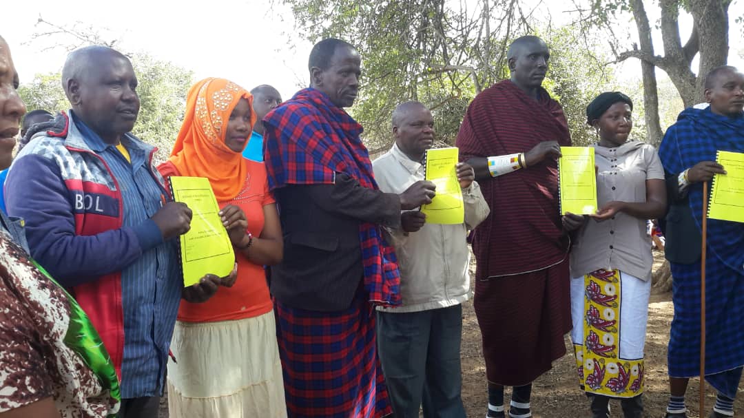
Header image: ALOLLE participatory land use management (PLUM) members holding their joint village land use plan. Photo by KINNAPA/ILRI.
Story by Fiona Flintan, CGIAR Research Initiative on Livestock and Climate Lead