- From
-
Published on
23.09.19
- Impact Area
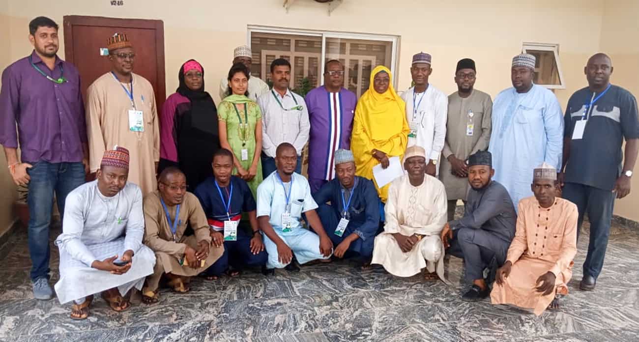
A recent capacity-building exercise conducted in Nigeria trained a multidisciplinary team of researchers in the use of remote sensing in their respective areas of work. Remote sensing technology – a rapid and efficient approach to estimate croplands, cropping intensity, land use and land cover changes – has several applications in agricultural research.
The sessions involved introduction of the concepts of remote sensing, Geographical Information System (GIS) and Google Earth Engine (GEE), along with several applications for which these modern tools are used for agriculture at ICRISAT. The participants received hands-on training on using these technologies, and performed a ground data collection exercise. The use of remote sensing imagery for land use/land cover mapping and monitoring using time series data was highlighted.
Related news
-

DTA at COP30: Why Digital Transformation Belongs at the Heart of Climate Action
13.11.25-
Adaptation
-
Climate adaptation & mitigation
-
Mitigation
As the world gathers in Brazil for COP30, the conversations are once again focused on…
Read more -
-

COP30: Italy joins global champions to drive food systems transformation
13.11.25-
Adaptation
-
Climate adaptation & mitigation
-
Mitigation
11 November 2025, Belém: Italy joined the Alliance of Champions for Food Systems Transformation (AC…
Read more -
-
A decade of academic and research partnership advances One Health in Vietnam
13.11.25-
Health
In northern Vietnam, Thai Nguyen province has become one of the most active hubs for…
Read more -