Soils of ILRI’s Kapiti Research Station and Wildlife Conservancy
- From
-
Published on
26.11.25
- Challenges
The soil survey report of the International Livestock Research Institute’s (ILRI) Kapiti Research Station and Wildlife Conservancy is the first of its kind.
Previous work on the distribution of soils in the survey area is limited to the 1:1,000,000 exploratory soil map of Kenya prepared by the Kenya Soil Survey and the soils are described in very general terms.
The current report is more detailed and serves as an important explanatory note to the soil conditions of ILRI’s ranch.
The accompanying soil map covers an area of 13,000 hectares.
The study area falls in Agro-Climatic Zone IV which is semiarid.
The site experiences a bimodal rainfall distribution with long rains from mid-March to May and short rains from mid-October to December.
The mean annual total rainfall is 552 ± 203 mm.
The area is underlain by Archaean basement system rocks, tertiary volcanic rocks (mainly composed of Kapiti Phonolites), and Pleistocene and Quaternary sediments.
The topography of the area is dominated by very gently undulating plains interrupted, in the middle of the survey area, by hills with their associated foot slopes.
Citation
Gachene, C.K., Pearce, F., Leitner, S.M., Paliwal, A., Quinton, J. and Rufino, M. 2025. Soils of ILRI’s Kapiti Research Station and Wildlife Conservancy. Nairobi, Kenya: ILRI.
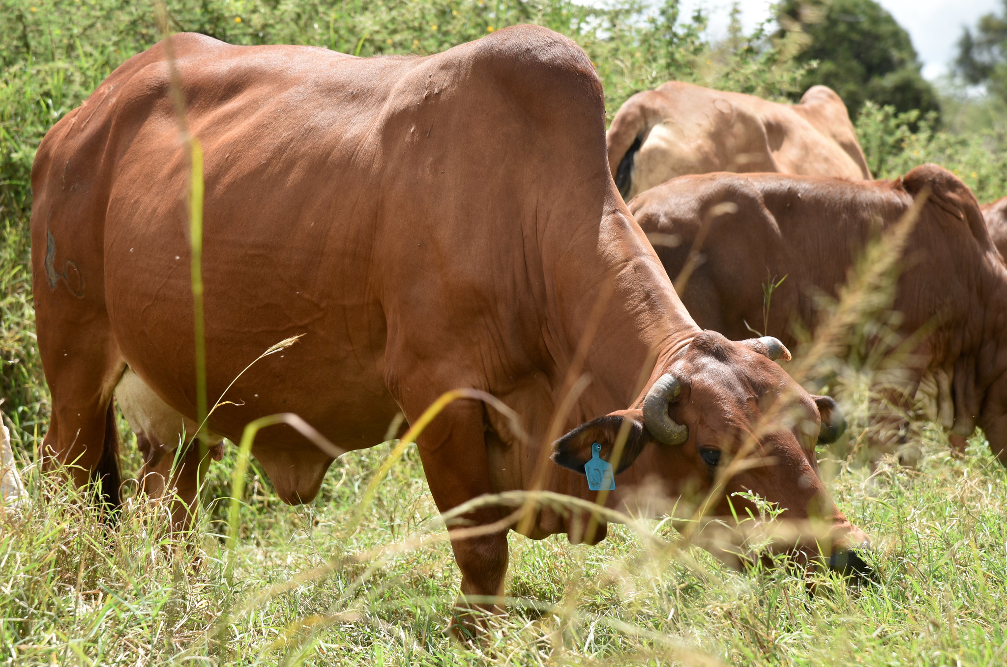
Photo: Boran cow at ILRI’s Kapiti Research Station (credit: ILRI/Paul Karaimu)