- From
-
Published on
27.08.20
- Impact Area
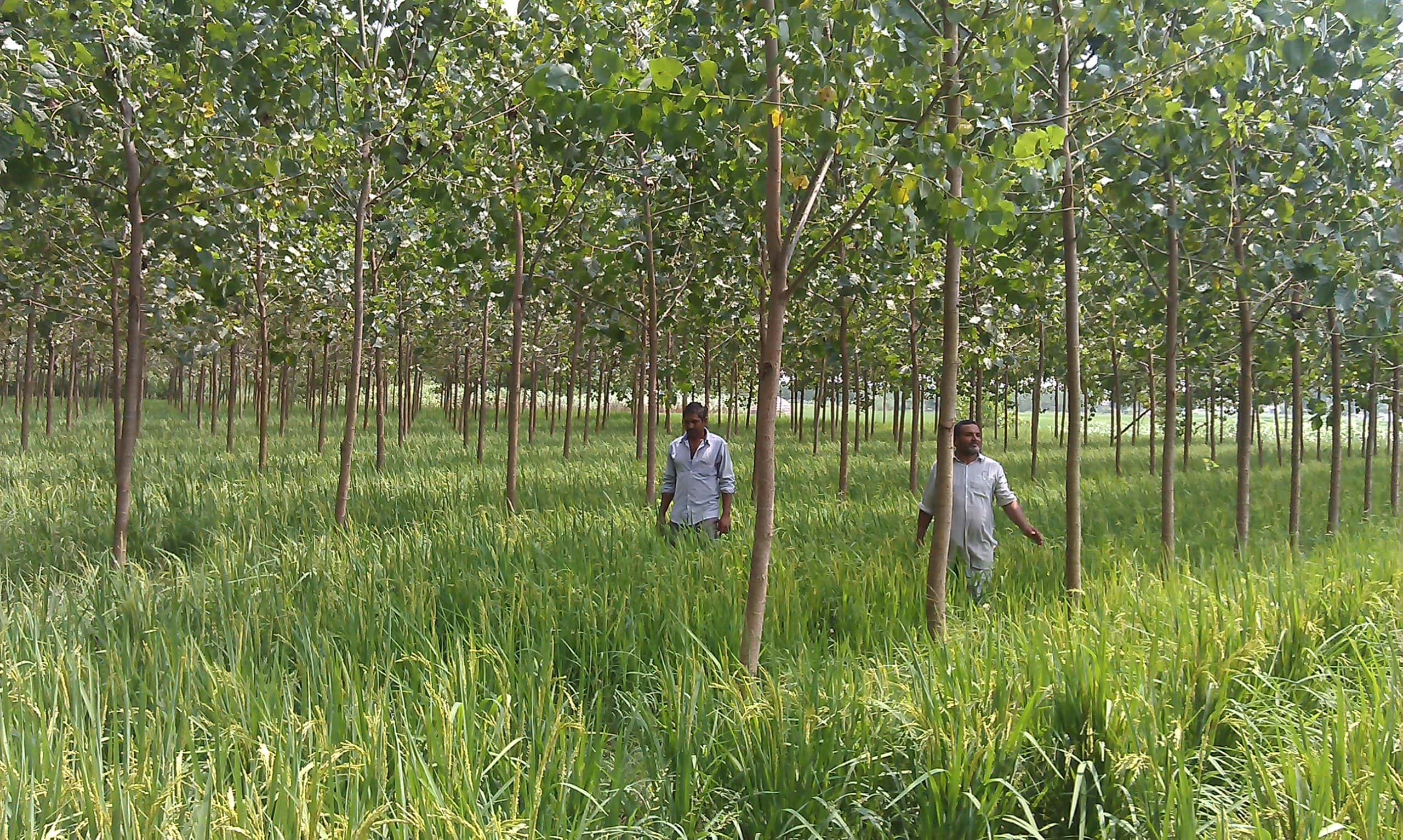
Researchers have used different geospatial datasets of land, soil, climate and topography to model, map and identify potentially suitable areas for trees in Nepal.
Farmers in Nepal grow trees in farming landscapes, considering them an integral part of the agricultural system, which is the mainstay of the Nepalese economy and, in addition to forestry, contributes about 27% of total gross domestic product. Agroforestry already plays a significant role in supporting the diversification of livelihoods and increasing socio-ecological resilience in various climate-change scenarios. The recently endorsed National Agroforestry Policy of Nepal has one of its goals as the development, expansion and commercialization of agroforestry systems to contribute to national prosperity. Yet, land is a finite resource and its productivity varies geographically, especially, in a small and mountainous country such as Nepal. Government planners, development agencies and scientists did not have enough information about which parts of the country were suitable for agroforestry in order to meet the objectives of the national policy. This was a challenge that researchers set out to meet.
Related news
-

UN World Soil Day 2025: Healthy Soils for Healthy Cities
05.12.25-
Environmental health
-
Environmental health & biodiversity
Opinion piece by Dr Himanshu Pathak Director General, International Crops Research Institute for the…
Read more -
-

From Dirt to Decision-Making: Governance and Soil Health Must Go Hand in Hand
26.11.25-
Biodiversity
-
Environmental health
-
Environmental health & biodiversity
In October, the world convened in Des Moines for the 2025 Borlaug Dialogue under the…
Read more -
-

ICRISAT’s Solar-Powered Water Hyacinth Harvester Recognized Among India’s Top 100 Innovations of 2025
18.11.25-
Environmental health
-
Poverty reduction, livelihoods & jobs
ICRISAT's Novel Solar-Powered Water Hyacinth Harvester has now earned a place in the prestigious To…
Read more -