- From
-
Published on
27.04.20
- Impact Area
Careful planning is needed to avoid major damage, while marshalling resources towards limiting the spread of COVID-19.
Space-based technologies can provide critical information ahead of crises on their potential extent and scale of impacts.
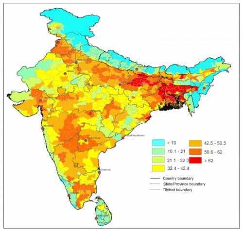
A map showing the state of maturity of crops around the world, created by scientists at the International Water Management Institute (IWMI) and CGIAR Research Program of Water, Land and Ecosystems (WLE) provides an example.
Related news
-

Mapping for Resilience: How Spatial Data is Transforming Karamoja Cluster
02.07.25-
Climate adaptation & mitigation
Pastoral communities in the Karamoja Cluster (a region spanning Kenya, Uganda, South Sudan, and Ethi…
Read more -
-

Building Resilience and Regeneration: The Central Highlands Ecoregion Foodscape (CHEF)
02.07.25-
Climate adaptation & mitigation
At the CGIAR Sustainable Farming Program (SFP), we believe that collaboration is essential for trans…
Read more -
-

Planting with Precision: How Weather and Climate Information is Changing Bean Farming in Rwanda
01.07.25-
Climate adaptation & mitigation
Imagine weather information as a GPS for farmers. Without it, the journey becomes uncertain, filled…
Read more -