- From
-
Published on
27.04.20
- Impact Area
Careful planning is needed to avoid major damage, while marshalling resources towards limiting the spread of COVID-19.
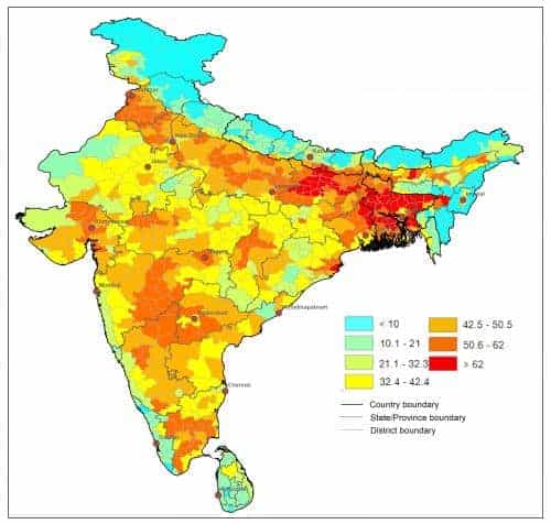
Space-based technologies can provide critical information ahead of crises on their potential extent and scale of impacts.
A map showing the state of maturity of crops around the world, created by scientists at the International Water Management Institute (IWMI) and CGIAR Research Program of Water, Land and Ecosystems (WLE) provides an example.
Related news
-

CGIAR Climate Security team pilots a new research approach for the development of Nature-based Solutions in fragile settings
27.11.25-
Climate adaptation & mitigation
Responding to complex crises requires new systemic research approaches that help identify entry poin…
Read more -
-

Drones prove their worth in measuring livestock methane in Africa
26.11.25-
Mitigation
In May 2024, the International Livestock Research Institute (ILRI) and partners shared news of the…
Read more -
-

Pioneer adaptation farmers inspire adoption of climate-smart innovations in Bomet County, Kenya
24.11.25-
Adaptation
In Bomet County, Kenya, where agricultural traditions run deep, two families and their farms are…
Read more -