- From
-
Published on
13.01.19
- Impact Area
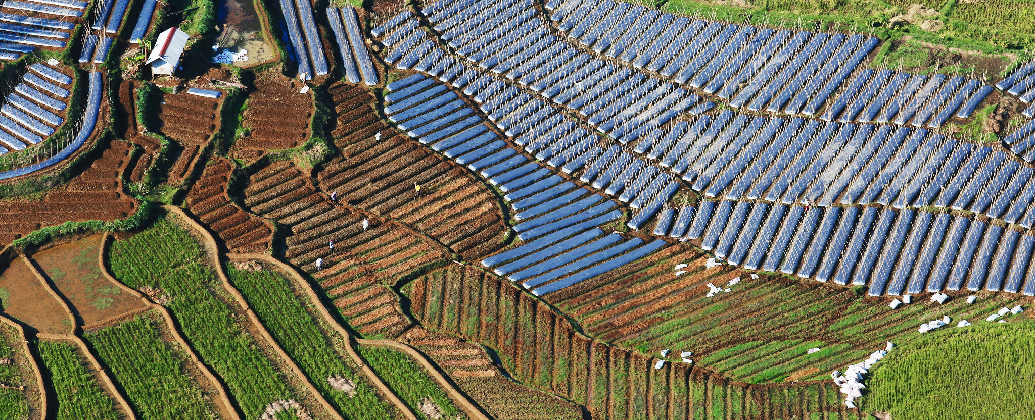
Spatial plans, which organize people and activities within a certain area, are often developed by government planners with little or no input from those living and working in the landscape in question. Moreover, there tends to be strict divisions between planning for rural, urban and conservation areas, and planning related to climate change policy might fall under a separate government agency altogether.
Challenges related to rural development, urbanization, nature conservation and climate change are closely interrelated, and finding solutions requires collaboration and coordination of people with many different positions within a landscape. This means that the way spatial planning is organized will need to undergo some drastic changes.
During the most recent Global Landscapes Forum in Bonn, Germany, speakers at two separate sessions, organized by the International Union for Conservation of Nature (IUCN) and the German Federal Ministry of Economic Cooperation and Development (BMZ) respectively, made a plea for a new approach to spatial planning.
This isn’t out of reach. Participants also shared examples from Tanzania, Zambia and Angola, where government planning agencies are working closely with civil society organizations and local communities to draw up maps more inclusively and effectively.
Read more on Landscape News for the four main takeaways on how this is best done.
Related news
-

From Dirt to Decision-Making: Governance and Soil Health Must Go Hand in Hand
26.11.25-
Biodiversity
-
Environmental health
-
Environmental health & biodiversity
In October, the world convened in Des Moines for the 2025 Borlaug Dialogue under the…
Read more -
-

ICRISAT’s Solar-Powered Water Hyacinth Harvester Recognized Among India’s Top 100 Innovations of 2025
18.11.25-
Environmental health
-
Poverty reduction, livelihoods & jobs
ICRISAT's Novel Solar-Powered Water Hyacinth Harvester has now earned a place in the prestigious To…
Read more -
-

CGIAR Multifunctional Landscapes at COP30: Advancing Adaptation and Nature-Based Solutions
10.11.25-
Adaptation
-
Biodiversity
-
Environmental health
-
Environmental health & biodiversity
-
Mitigation
COP30 in Belém, Brazil is being heralded as a pivotal “COP of adaptation” and a…
Read more -