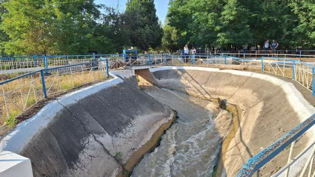
Increasing river salinity is a rising threat in Bangladesh’s coastal Ganges-Brahmaputra-Meghna Delta, affecting agriculture, livelihoods, and drinking water. Under CGIAR Scaling for Impact, IWMI—together with IRRI and the Institute of Water Modelling—has developed an AI/ML-driven salinity forecasting and advisory system to help farmers and water managers time sluice gate operations around polders to reduce salinity risk.
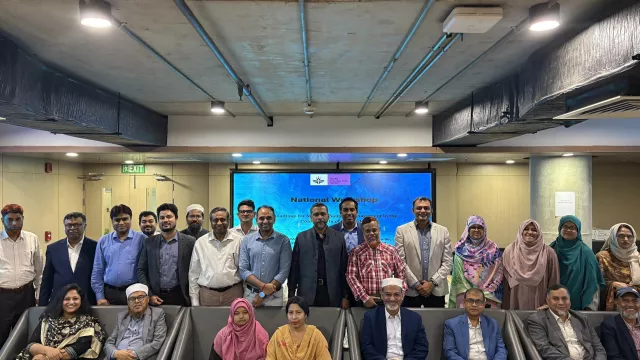
To move from pilot to wider adoption, the initiative is developing a stakeholder-led scaling pathway and roadmap that connects community-level action with institutional coordination and policy support. This includes regular salinity data updates, functioning water management groups, canal desiltation, financing for operations and maintenance, equitable water allocation, and stronger local governance. Regional and national consultations in 2025 (Khulna and Dhaka) helped identify practical, near-term steps—such as consolidating existing salinity datasets, mapping ongoing interventions, and integrating advisories into extension systems—to support coordinated salinity management across coastal Bangladesh.