- From
-
Published on
08.06.21
- Impact Area
There is growing demand for sustainable development policy that is data driven, but our unprecedented and increasing capacity to generate large volumes of quantitative data also requires a much greater consideration of the ways these data are generated and interpreted. This, after all, determines if and how newly generated data are harnessed by policy and with what effects.
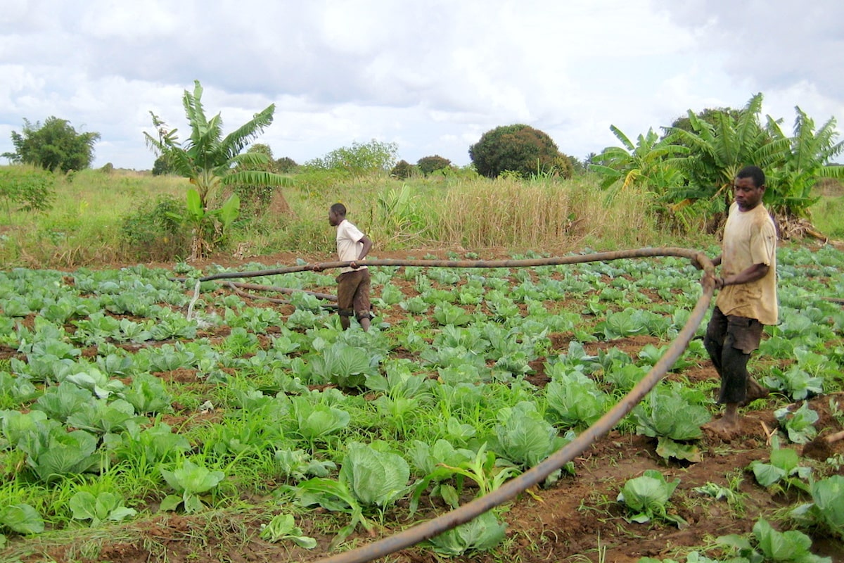
The growing use of remote sensing to detect the extent and location of irrigation in sub-Saharan Africa is a case in point. Since the 2007/08 food price crisis there has been a renewed focus on investment in sub-Saharan Africa’s agricultural sector. Irrigation has either returned to or newly entered the portfolios of many development agencies, promoted as a key component of Africa’s agricultural development. There is, however, widespread debate regarding what is ‘the right irrigation’ development pathway for the continent, and notably the place smallholders have in shaping rural transitions.
Photo credit: JP Venot
Related news
-

Shaping policy changes for a sustainable cropping system in Uttar Pradesh, India
03.07.25-
Food security
by Dr. Proloy Deb and Dr. Swatantra Dubey The Central Plain region of Uttar Pradesh…
Read more -
-

KOICA, UPLB, IRRI Partnership Establishes a Genomic Powerhouse to Future-Proof Agriculture
01.07.25-
Food security
LOS BAÑOS, Philippines (26 June 2026) — KOICA, UPLB, and IRRI came together to showcase…
Read more -
-

A Quest for Market- and Farmer-Aligned Rice Varieties in Mozambique
01.07.25-
Food security
Quelimane, Mozambique (11 June 2025) — Mozambique is taking steps toward a more market-responsive …
Read more -