-
From
CGIAR Initiative on Digital Innovation
-
Published on
05.12.22
- Impact Area
From satellites launched into low orbit, to smartphones spreading across the developing world, each day the Earth is pictured in greater detail and frequency than before. Researchers are continually finding new ways to use these images to increase agricultural productivity and resilience to climate change, every method has its drawbacks and challenges, especially when it comes to smallholder farming. Here are five ways in which different technologies are being combined to transform agriculture in rural areas of Africa, Asia and Latin America.
1. Mapping crop areas
Climate change, resource scarcity and urbanization all pose challenges to agricultural production, but how much cropland is there in the world, where is it and how much of it is irrigated?
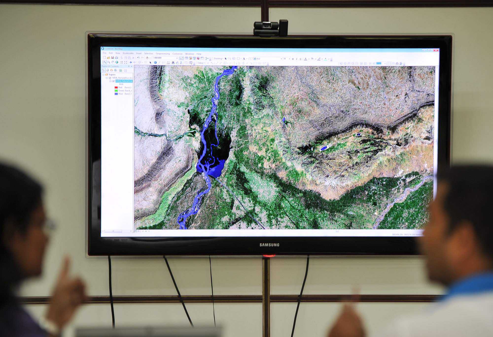
There were 1.873 billion hectares of agricultural cropland in 2015, covering 15% of the Earth’s ice-free landmass. Around 400 million hectares of agricultural land is irrigated. This estimate was generated by the Global Food Security-support Analysis Data (GFSAD) project, in which the International Crops Research Institute for the Semi-Arid Tropics (ICRISAT) participated alongside several U.S. government agencies and Universities, the Indonesian Agency for Agricultural Research and Development and Google.
For the research, GFSAD generated high resolution (30-meter) satellite images, allowing researchers to examine cropland areas. Machine learning was used to identify croplands and irrigated areas, with the algorithm trained using a mixture of even higher resolution images from various commercial satellite services along with ground studies. ICRISAT mapped agricultural areas in South Asia and contributed to the mapping of Africa. With the GFSAD dataset, it is also possible to identify crop types, cropping intensities and changes in croplands over time. ICRISAT has also used satellite images to monitor the expansion of pigeonpea and groundnut growing areas, to identify the impact of new varieties released in Malawi.
Detailed spatial and temporal crop maps are a key resource for decision-making at from the global to the field level. For example, the Impact Observatory mapping project was used for reporting by the New York Times on the extent of the flooding crisis in Pakistan, drawing attention to one the world’s most overlooked humanitarian crises. The CGIAR Digital Innovation Initiative is partnering with the Impact Observatory to develop a near-real-time mapping of crop geography (e.g., area, production, and yield of key commodities), starting with Kenya as a pilot country.
2. Monitoring crop growth
Smallholder farming systems are vital to global food security, but can are vulnerable to extreme weather events. It is important to detect or even predict disruptions to these systems, so that they can be adapted ahead of time and supported with measures such as crop index insurance.
Satellite images can be used to track the development of crops in farmers’ fields in combination with other data, for example the impact of high temperatures during the crop flowering period, or the high winds that cause mature wheat plants to topple and become lodged. However, satellite images are less useful to examine the small and varied fields seen in smallholder farming, and are restricted by cloud cover during crop growth periods.
The International Food Policy Research Institute (IFPRI) has collaborated in research showing how near-surface imagery (e.g., from drones or fixed cameras on smartphones) and crowdsourced images taken by farmers themselves can be linked with satellite images for much more accurate results. The research involved 508 farmers selected from 50 villages in the Punjab and Haryana states of India, who contributed around one photo per week showing their field during growing season. Algorithms were developed to adapt these smartphone photos for use identifying the transition between different wheat cropping stages, and when lodging occurred.
When compared with satellite images, the ground-truth information revealed the true level of variation at the level of farmers’ fields, demonstrating a low-cost method to improve the monitoring of crop growth in smallholder settings.
3. Predicting yields
Another application for satellite imagery combined with groundtruth data is in yield prediction. It is important for policymakers to have accurate predictions of how key staple crops will fare in coming seasons to avoid food scarcity and high market prices. As well as being adopted for this purpose by the Philippines government, the Remote Sensing-based Information and Insurance for Crops in Emerging Economies (RIICE) project is used by insurers in the state of Tamil Nadu, India to assess losses following natural disasters, enabling farmers to receive payouts through a government scheme. Created by the International Rice Research initiative and SARMAP, the RIICE service monitors 12 million hectares of rice cropland in Philippines, Vietnam, Cambodia, India and Thailand, providing maps, seasonal crop parameters, yield forecasts and estimations, and natural disaster impact maps. The CGIAR Digital Innovation Initiative is scaling RIICE to Egypt and Senegal.
Ground-truth data remains the gold standard for crop production statistics reported in official statistics, relying on a time-intensive process of taking field level samples. Remote sensing can be used to optimize this method, detecting when there is more variability in fields and more samples should be made to get an accurate result. The method, developed by IFPRI in collaboration with ITC-University of Twente, is being piloted in Mozambique with the support of the Korean Government.
4. Index-based crop insurance
Remote sensing also enables innovative forms of crop insurance. Unlike traditional models which pay out when losses are detected in a farmers’ field, index-based insurance pays out automatically when a parameter such as soil moisture reaches a certain level. The result is a much more responsive system to protect farmers, and which insurers trust as a low-cost indication of agricultural losses that can be used in remote areas.
The International Center for Tropical Agriculture (CIAT) has supported ACRE Africa to develop a service for smallholders in Africa that combines the VanderSat (now a part of Planet) global satellite observation service with a verification tool based on smartphone photos taken by farmers. As well as allowing farmers to receive payouts, the photo tool is also used to offer an advisory service to farmers to adopt climate-smart agricultural practices.
5. Breeding better crops
Improved crop varieties adapted to farmers’ needs are essential to securing global food security. Given available resources and the variability between conditions on smallholder farms and consumer preferences, plant breeders face an uphill task to release successful new varieties on time.
Despite advancements in genomic prediction, plant breeding still relies on observing how tens of thousands of plants perform in field conditions. Measuring how physical characteristics such as plant age, height or biomass respond to factors such as heat stress can be hugely time-intensive and costly. For this reason, unmanned aerial vehicles taking images in the visible and near-infrared areas of the spectrum are increasingly used to carry out this task at scale.
Related news
-
PABRA and Rwanda’s Agriculture Ministry chart new path for bean value chain transformation at ACAT Conference
30.06.25-
Nutrition, health & food security
-
Poverty reduction, livelihoods & jobs
As Rwanda continues efforts towards eradicating malnutrition, the bean crop continues to be a symbol…
Read more -
-

Harnessing digital tools in securing soil health for Africa’s food future
27.06.25-
Climate adaptation & mitigation
-
Environmental health
-
Nutrition, health & food security
-
Poverty reduction, livelihoods & jobs
Nairobi, 27 June 2025 (IITA) - As it marks its first anniversary, the Regional Hub…
Read more -
-
Harnessing digital tools in securing soil health for Africa’s food future
27.06.25-
Climate adaptation & mitigation
-
Environmental health
-
Food security
-
Poverty reduction, livelihoods & jobs
Nairobi, 27 June 2025 (IITA) - As it marks its first anniversary, the Regional Hub…
Read more -