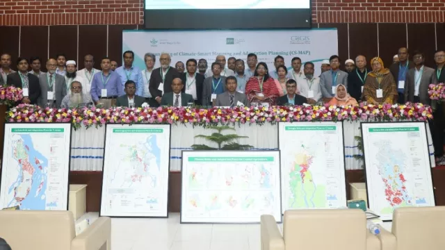
Innovative climate-smart mapping tool launched to aid farmers in coastal Bangladesh adapt to climate challenges
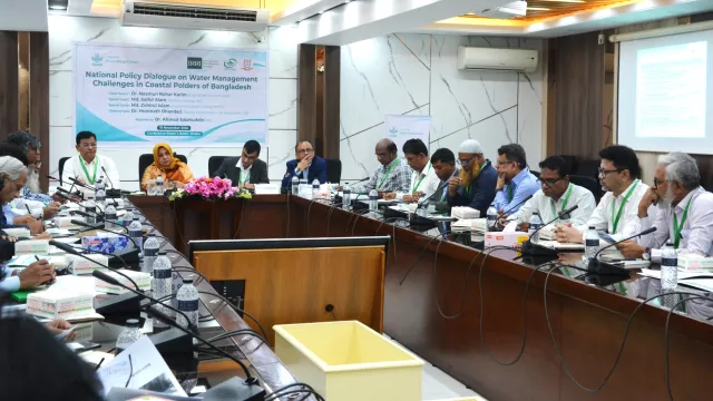
Dhaka, Bangladesh, 24 November 2024 – The International Rice Research Institute (IRRI) and the Center for Environmental and Geographic Information Services (CEGIS), in collaboration, launched Climate-Smart Mapping and Adaptation Planning (CS-MAP) on November 24, 2024, at the BARC Auditorium in Farmgate, Dhaka. As part of the CGIAR Initiative on Asian Mega-Deltas, CS-MAP aims to enhance food security and climate resilience