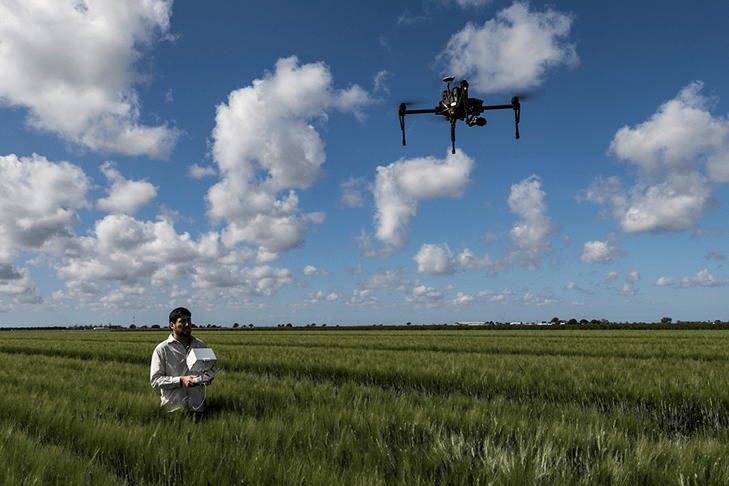
Scientists at the International Maize and Wheat Improvement Center (CIMMYT) have been harnessing the power of drones and other remote sensing tools to accelerate crop improvement, monitor harmful crop pests and diseases, and automate the detection of land boundaries for farmers.
A crucial step in crop improvement is phenotyping, which traditionally involves breeders walking through plots and visually assessing each plant for desired traits. However, ground-based measurements can be time-consuming and labor-intensive.
This is where remote sensing comes in. By analyzing imagery taken using tools like drones, scientists can quickly and accurately assess small crop plots from large trials, making crop improvement more scalable and cost-effective. These plant traits assessed at plot trials can also be scaled out to farmers’ fields using satellite imagery data and integrated into decision support systems for scientists, farmers and decision-makers.